
Newsletter Subscribe
Enter your email address below and subscribe to our newsletter

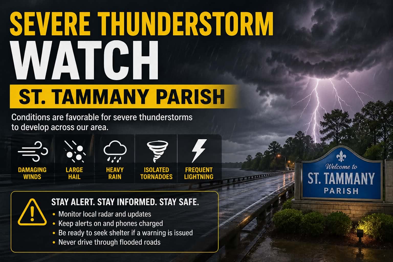
Severe Thunderstorm Watch Issued for St. Tammany Parish
St. Tammany Parish is currently under a Severe Thunderstorm Watch, meaning conditions are favorable for strong storms to develop across the area.
According to the National Weather Service and regional forecasts, storms moving through southeast Louisiana today could bring damaging wind gusts, large hail, heavy rainfall, and frequent lightning. In some cases, severe thunderstorms in this region are also capable of producing brief tornadoes.
This watch does not mean severe weather is happening everywhere right now, but it signals that residents should stay alert and be ready to act quickly if warnings are issued.
Spring is one of the most active severe weather periods in Louisiana due to the clash of warm Gulf air and incoming weather systems, which can rapidly intensify storms.
What to expect:
Short bursts of intense storms
Wind gusts strong enough to knock down trees or power lines
Hail and heavy downpours that may cause localized flooding
Possible isolated tornado activity
What you should do:
Keep your phone charged and alerts turned on
Monitor local radar and updates
Be prepared to move indoors quickly if a warning is issued
Avoid driving through flooded roads
Stay alert this afternoon and evening. If conditions worsen, watches can quickly turn into warnings.