
Get Slidell & St. Tammany News
Enter your email below to get local news in your inbox.

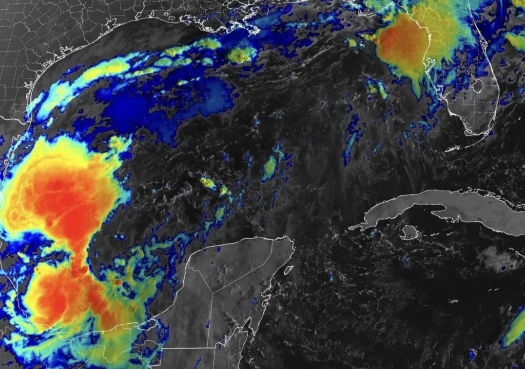
LOUISIANA — A tropical system in the southwestern Gulf is becoming increasingly organized Tuesday morning, and forecasters say a tropical depression could form within the next day or so.
The National Hurricane Center has increased the chance of development for Invest 92L to 90% within the next 48 hours and seven days.
The disturbance is currently producing showers and thunderstorms over the southwestern Gulf and is expected to drift eastward before eventually turning north or northeast toward the northern Gulf Coast later this week.
If the system strengthens into a tropical storm, it would receive the name Isaias.
For Louisiana and Mississippi residents, however, there is an important point to keep in mind:
There is not yet a reliable landfall location.
Because the system has not developed a well-defined center of circulation, relatively small changes in where that center eventually forms could result in significant changes to its projected path.
The National Weather Service office serving southeast Louisiana and southern Mississippi says current guidance generally ranges from the Louisiana and Mississippi coastline east toward the Florida Panhandle.
Forecasters are also watching atmospheric conditions that could limit the system’s strength as it approaches the northern Gulf Coast. Increasing wind shear later this week could disrupt the system, although exactly how much strengthening occurs before then remains uncertain.
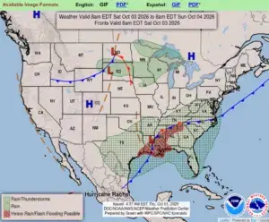
Regardless of its eventual classification, tropical moisture associated with the system could increase rain chances across portions of the Gulf Coast beginning Friday and continuing into the weekend.
NOAA aircraft are expected to gather additional atmospheric data around the disturbance Tuesday, while Hurricane Hunter reconnaissance will provide forecasters with considerably more information as the system becomes organized.
Those observations should help computer models get a better handle on both the eventual track and intensity.
For now, residents from Louisiana eastward along the northern Gulf Coast should monitor the system over the next several days, but there is no reason to assume any particular community will take a direct hit based on the current information.
TRH News will continue monitoring Invest 92L as additional data becomes available.





How is this affecting you and your neighborhood? Join the conversation below.
Free. Straight to your inbox. Cancel anytime.




Join the conversation — create a free TRH News account to comment.